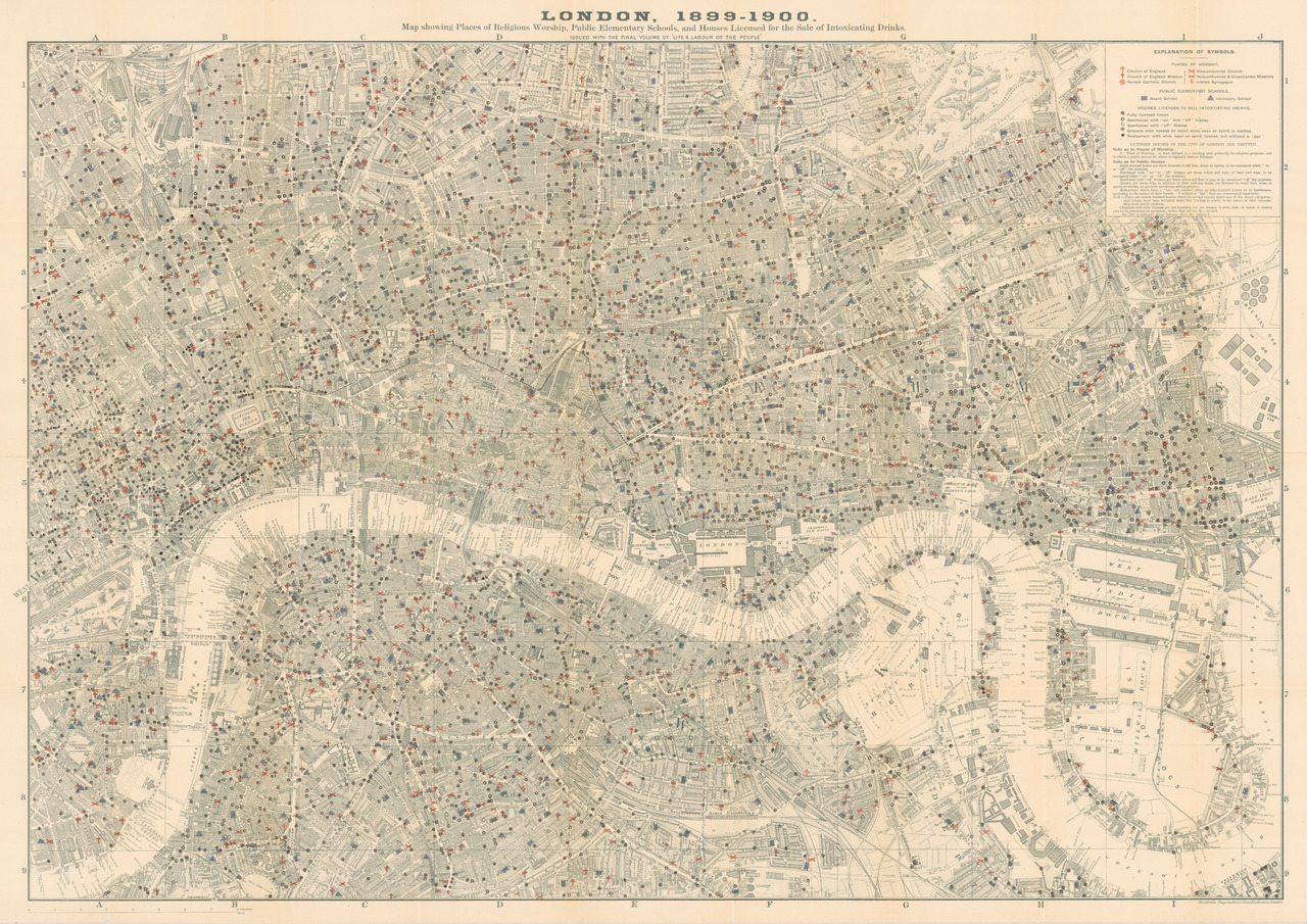
Map of London Pubs, Churches & Schools
Date Created & Temporal Coverage:
1903
Language: · English
––:»Map of London Pubs, Churches & Schools«
Map showing Places of Religious Worship, Public Elementary Schools, and Houses Licensed for the Sale of Intoxicating Drinks.
In Collection
- Title
- Map of London Pubs, Churches & Schools
- Author/Creator
- Booth, Charles
- Date Created
- 1903
- Temporal Coverage (Time Period)
- 1900 – 1903
- Abstract
- Map showing Places of Religious Worship, Public Elementary Schools, and Houses Licensed for the Sale of Intoxicating Drinks.
- Description
- Charles Booth is today regarded as one of the co-founders of social cartography. In his multi-volume "Life and Labour of the People in London" he describes not only social inequality and class relations in Victorian London. He also uses numerous maps to visualize these social conditions.
- Subject
- Alcohol
- Spatial Coverage (Place)
- Greater London, United Kingdom
- Type
- map
- Source
- Cornell University - PJ Mode Collection of Persuasive Cartography
- Language
- English
- Rights Holder
- Persuasive Maps: PJ Mode Collection
- Rights
- public domain
Narcotic Archive Item-ID
Permalink
https://narcotic-archive.org/s/archive/item/170
